

Pakistan and Afghanistan plan to use Google Maps to help settle a border dispute that led to deadly clashes last week, officials from both sides said Monday.
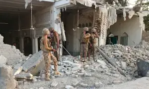
On Friday, Pakistan closed the border after attacks by Afghan forces on census staff and security personnel escorting them left 12 people dead and 40 others injured.
Pakistan inherited its 2,400-kilometre border, called the Durand Line, with its western neighbour at the time of independence in 1947, but Afghanistan has never formally recognised it.
Official Afghan maps reflect the Durand Line, many nationalists believe the true border of their country ends at the River Indus that runs though Pakistan and gave India its name.
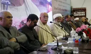
"Officials from the geological survey departments of the two countries will conduct a survey, and they will also make use of Google Maps," said a senior Pakistani security source in Islamabad who requested anonymity.
Abdul Razeq, the police chief of Afghanistan's Kandahar province, added: "After negotiations, both sides have agreed that a geological survey should be conducted.
"Technical teams of both countries will use GPS and Google Maps as well as other means to get the answer."
Internet firm Google complies with local laws in certain countries that compel it to show borders in line with national demands. For instance, its Indian site shows the entirety of disputed Kashmir as held by India.
In Pakistan, however, the site shows the internationally recognised de facto border, the Line of Control (LoC), marked with a dotted line to denote it is disputed.
In 2010 Google was embroiled in a Central American border dispute that saw two neighbouring countries dispatch troops and heavily armed police to their joint border.
The incident happened after a Nicaraguan commander cited Google's version of the border map in an interview with Costa Rican newspaper La Nacion to justify a raid on a disputed area of Costa Rica.
Google later said it had made a mistake and corrected its map to reflect one sanctioned by the US State Department.
Pakistan periodically tries to harden the traditionally soft border with Afghanistan through trenching and fencing, but its efforts were met with hostility from Kabul.
Pashtuns living in the region have traditionally paid it little heed. Villages straddling the frontier have mosques and houses with one door in Pakistan and another in Afghanistan.